Ontario Land Development, Zoning & Approvals | 6:00 PM post
Infill and redevelopment sites can look ready for construction. They may already have a building, driveway, parking area and municipal services. But those existing features can make site plan approval more complex, not less.
Unlike vacant land, an infill site comes with a history. Existing elevations may be poorly documented. Drainage may cross property lines. Older service connections may not suit a new use. Buildings, mature trees, easements and shared driveways can limit where the project can go.
The result is that a concept that fits on a site plan may still be difficult to grade, service or build. Early civil engineering input helps identify those constraints before they become expensive design changes.
Under Ontario's site plan control framework, municipalities can require drawings that address grading, drainage, servicing, access and parking before approval. That review matters more, not less, when the site is already built.
Infill sites inherit existing conditions
On vacant land, the design team generally has more freedom to establish building position, grades and service routes. On a built property, the proposed work must respond to what is already there, and to what lies just beyond the property line.
Common constraints include:
- Existing buildings or site features that must remain
- Tight setbacks, zero lot lines and limited space for grading
- Mature trees, retaining walls and underground easements
- Shared driveways or access routes
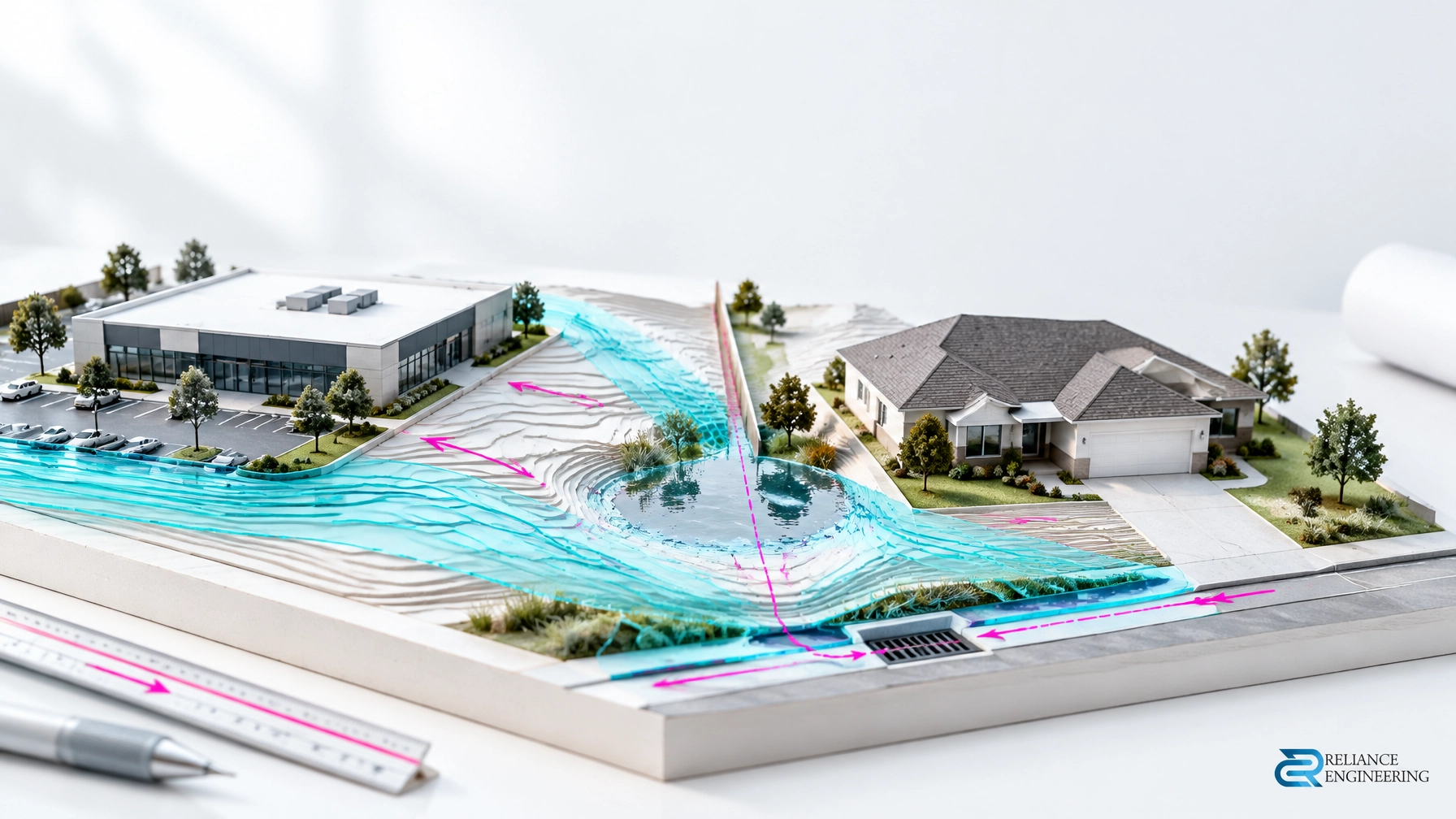
- Neighbouring properties that drain onto, or through, the site
- Existing water, sanitary and storm connections with uncertain capacity or condition
These conditions affect one another. Moving a building may create room for a swale; changing the driveway grade may affect access and drainage; relocating a service may conflict with an easement or tree-protection area. A coordinated design considers those relationships together.

Start with reliable existing-conditions information
The first step is not drawing proposed grades. It is confirming what is on and around the property.
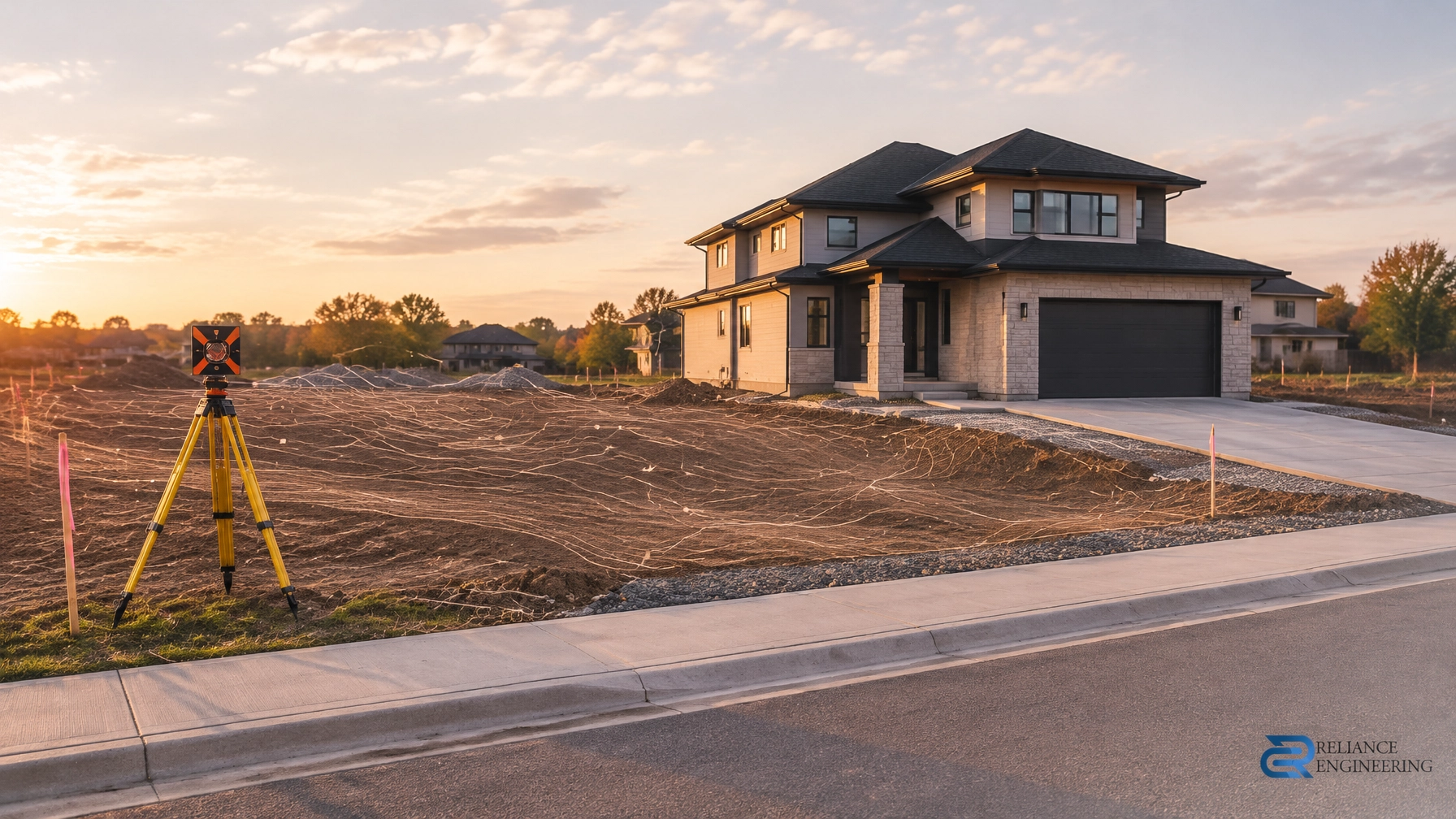
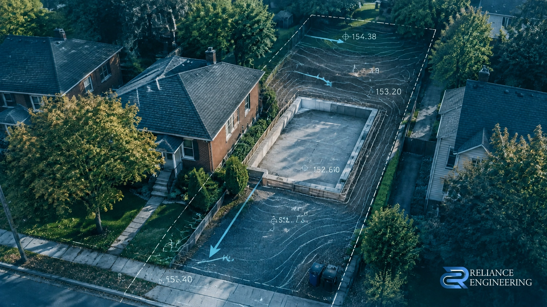
A current topographic survey provides the foundation for civil design. A stale survey may not capture new paving, site alterations, retaining walls, structures or drainage changes. For an infill project, small elevation differences can determine whether water flows toward a building, a neighbouring lot or the road.
The existing-conditions review should establish:
- Property limits, buildings, paving, walls, trees and visible site features
- Spot elevations, slopes and drainage paths on the site and at relevant boundaries
- Catchbasin rims, service locations and known utility features
- Existing water, sanitary and storm connections and laterals
- Municipal rim and invert information, confirmed where available
- Overland flow entering and leaving the property
- Encroachments or paving that may affect grading, access or easements
Records are useful, but they are not a substitute for field verification. Where service depth, connection condition or location is uncertain, confirm what can be confirmed before relying on it in the design.
This work also helps identify whether the site has been draining in an unintended way. Water may currently flow across the property, discharge toward a neighbour or pond in a paved area. The proposed plan must address those conditions rather than assume they will disappear with redevelopment.
Grading must work within tight boundaries
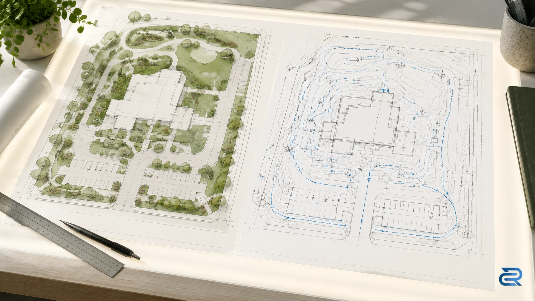
A site grading plan must do more than show elevations around a new building. It needs to explain how the entire site will drain while respecting existing features and adjacent properties.
That can mean matching perimeter grades carefully, maintaining positive drainage away from buildings, shaping drainage swales along property lines and adjusting parking or driveway areas that currently pond. Where a building is staying, its entrances and finished-floor elevations may limit how much the surrounding grades can change.
The design must also coordinate with the road, sidewalk, driveway entrance, accessible routes, landscaping and storm drainage. On a narrow site, there may be little space to correct a problem with a broad grade adjustment. Practical designs use the space available and make the proposed flow routes clear.
A buildable grading plan should show how the proposed elevations connect to existing conditions. It should also demonstrate that the design will not create a new drainage problem for neighbours or direct runoff where it cannot be safely managed.

Existing drainage can be the hidden approval risk
An infill property may currently drain overland to a neighbour or toward the road. That existing pattern does not automatically establish what will be acceptable after redevelopment. Municipal reviewers will expect the post-development design to manage runoff appropriately and avoid worsening drainage conditions.
The drainage strategy should account for runoff from roofs, parking and other hard surfaces, as well as overland flow paths. Depending on the site and municipal criteria, this may require storm drainage design, stormwater management coordination or additional supporting analysis.
Erosion and sediment control plans are also important where construction could expose soil or allow sediment to leave the site. The control measures should suit the actual site layout and construction constraints.
Addressing existing drainage early can prevent late changes to building levels, parking layouts, retaining elements or stormwater measures. It also makes the civil drawings easier for the design team and municipality to understand.
Verify servicing before relying on old connections
An existing service connection is not proof that it can support a new development. Its location, size, condition and capacity may be unknown, and the new use may create different demands.
The servicing review should establish whether water, sanitary and storm connections can be retained, require upgrades or need replacement. It should also consider service routes, municipal road or ditch tie-ins, utility conflicts and any easements that cross the property.
Older properties can have undocumented laterals or infrastructure placed in locations that conflict with new foundations, parking, trees or stormwater features. Confirming those details early helps reduce redesign and construction uncertainty.
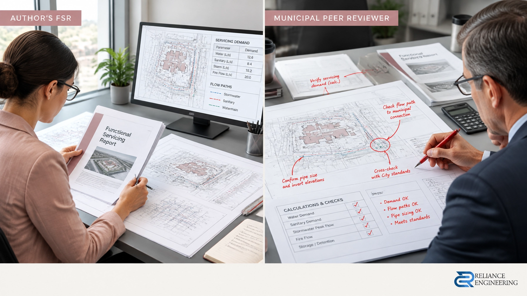
A complete civil package may bring together site servicing plans, storm drainage plans, stormwater management coordination, site grading plans, erosion and sediment control plans, civil notes and details, and road, ditch or driveway tie-ins. A Functional Servicing Report may also be appropriate where the municipality requires broader infrastructure analysis.

Coordinate the civil design before the concept is fixed
The most expensive time to discover a grading or servicing constraint is after the building footprint, access and parking layout have been treated as final.
Early engineering input lets the project team test practical concepts against survey information, drainage patterns, service locations and municipal requirements. The architect, planner, landscape architect, surveyor and civil engineer can then coordinate the site layout before conflicts are built into the design.
For site plan control, that coordination supports a clearer application package and a more workable path from review to construction. Reliance Engineering’s Site Plan Approval Drawings service includes submission review, civil design, consultant coordination and responses to municipal comments. Depending on the project, related approvals or drawings may also include OPA/ZBA, severance/consent or building permit drawings.
For grading support, see our Site Grading Plans service.
A practical route to site plan approval
For an infill or redevelopment site, begin by confirming the municipality’s submission requirements and assembling current existing-conditions information. Verify service data and drainage paths, then test the concept against access, grading, servicing and stormwater constraints.
From there, the civil design can be developed and coordinated with the wider consultant team. Clear drawings should show how the site will drain, connect and function, while providing the technical information required for municipal review and a site plan agreement, where applicable.
Reliance Engineering prepares reviewer-friendly drawings and provides approval support through comment response and revisions. The goal is practical, permit-ready civil drawings that reflect site conditions and support a coordinated submission. For the province's overview of the process, see the Citizen's Guide to Land Use Planning, "Site Plan Control" (https://www.ontario.ca/document/citizens-guide-land-use-planning/site-plan-control).
Planning an infill or redevelopment project in Ontario? Contact Reliance Engineering for a consultation before the concept is fixed.
Contact
Naresh Ochani, P.Eng. M.Eng.
PEO Certificate of Authorization: 100548882
Reliance Engineering Canada Limited
6850 Millcreek Dr, Mississauga, ON L5N 2H4
Phone: 647-385-6418
Email: [email protected]
Office hours: Monday to Friday 9:00 AM–5:00 PM; Saturday 12:00 PM–2:00 PM; Sunday closed.