Post track: Ontario Land Development, Zoning & Approvals
Publication: 6:00 PM
Service area: Province-wide across Ontario
Article type: Practical approval guide
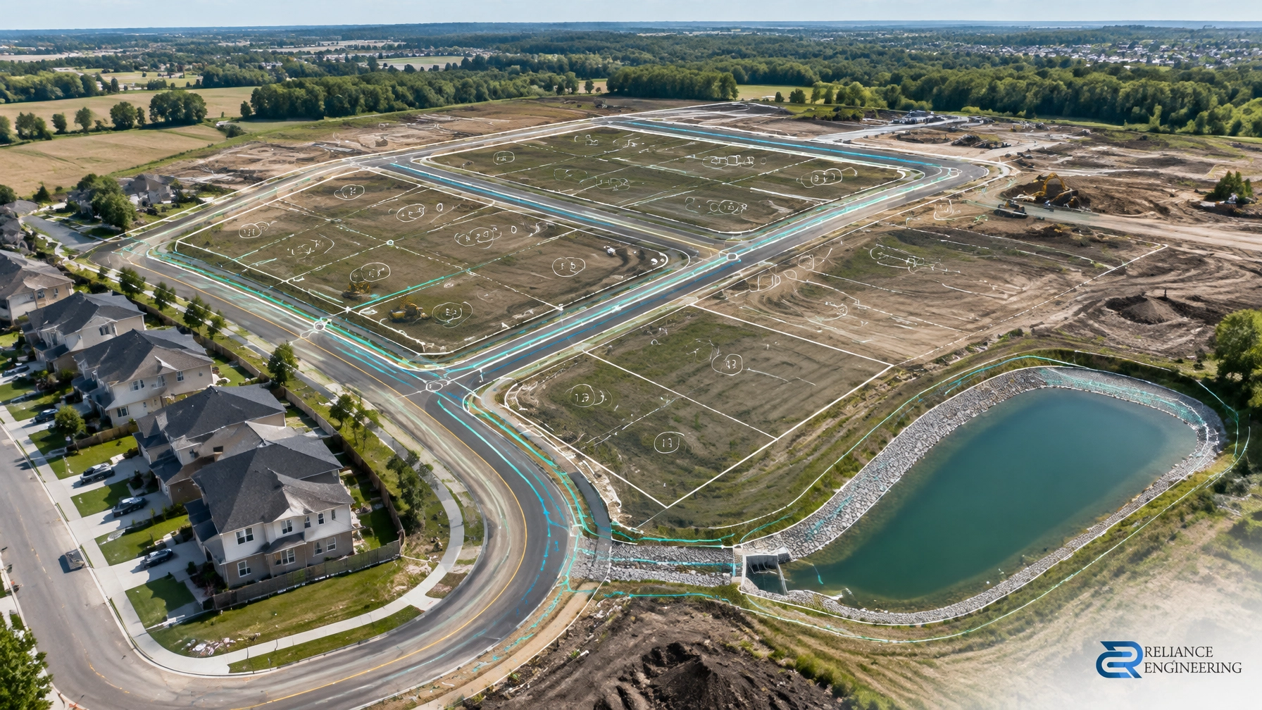
A draft-approved plan of subdivision is not ready for registration until its conditions are cleared. Those conditions may address roads, grading, drainage, stormwater, municipal servicing, zoning, environmental protection, easements, utilities, and subdivision agreements.
The most reliable way to manage this stage is with a complete civil package coordinated directly to the approved draft plan and conditions. The objective is clear: produce reviewer-friendly drawings and reports that allow municipal engineering staff, planning staff, utilities, and the applicable Conservation Authority to confirm that the subdivision can be serviced, constructed, and maintained.
Ontario’s Planning Act and the province’s guide to subdivisions establish the broader approval process. Local standards and draft conditions determine the technical submission requirements.
Start With the Draft Plan Conditions
Draft plan conditions should be treated as a technical checklist, not as a final administrative step.
A typical condition schedule may require:
- Detailed subdivision grading
- Water, sanitary, and storm servicing designs
- A Functional Servicing Report
- Stormwater Management Reports and facility details
- Erosion and Sediment Control Plans
- Road, access, and right-of-way designs
- Easements for drainage, utilities, access, or servicing
- Zoning confirmation
- Conservation Authority clearance, where applicable
- A subdivision agreement and financial securities
- Final engineering drawings before registration
Each condition should be assigned to the responsible consultant and connected to a specific drawing, report, agreement, or clearance letter. This prevents a common problem: submitting a technically strong drawing set that does not directly respond to the wording of the approval conditions.
Draft approval also includes a lapsing date. The Ontario guide notes that the approval authority must establish a time frame for satisfying the conditions. The civil team should confirm this date at the beginning of the condition-clearance process and plan submissions accordingly.
Coordinate OPA, ZBA, and the Lot Fabric
A change in density, land use, block configuration, or lot fabric often requires coordination with an Official Plan Amendment or Zoning By-law Amendment.
OPA/ZBA drawings should match the proposed subdivision in all material respects, including:
- Number of residential or employment blocks
- Proposed density and unit counts
- Lot widths and depths
- Road pattern and access points
- Stormwater management blocks
- Environmental or open-space blocks
- Required setbacks and development envelopes
If the planning approvals show one lot fabric and the civil drawings show another, municipal reviewers may question whether the subdivision implements the approved planning framework.
Early engineering input is valuable before the lot fabric is finalized. A practical concept may appear achievable from a planning perspective but fail when tested against road grades, servicing slopes, stormwater storage, fire access, or lot grading. Reviewing these constraints early can avoid amendments, redesign, and another municipal circulation.
Address Site Plan Control for Specific Blocks
Not every block within a plan of subdivision is developed in the same way.
Commercial, institutional, medium-density residential, townhouse, or mixed-use blocks may remain subject to site plan control after registration. These blocks may require separate Site Plan Approval Drawings before construction.
The subdivision civil package should identify:
- Which blocks require future site plan approval
- Preliminary servicing connection points
- Drainage outlets and overland flow routes
- Access and fire-route requirements
- Easements and rights-of-way
- Grading interfaces with public roads and adjacent lots
- Stormwater obligations that must be carried forward
This approach protects the subdivision-wide design while allowing future block-specific approvals to proceed without compromising roads, services, or drainage.

Prepare Subdivision Grading That Can Be Built
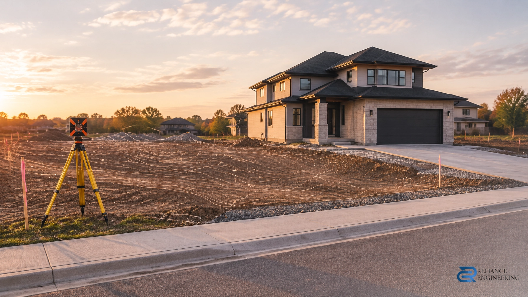
Subdivision grading must do more than show proposed elevations. It must establish a buildable and maintainable drainage system across roads, lots, blocks, parks, stormwater facilities, and adjacent properties.
A complete grading design typically addresses:
- Existing and proposed contours
- Road centreline and curb elevations
- Lot corner elevations
- Driveway grades
- Side-yard drainage
- Rear-yard drainage
- Swales and overland flow routes
- Emergency spill routes
- Pond and outlet elevations
- High-point and low-point controls
- Transitions to existing properties
Municipal engineering reviewers look for positive drainage, workable lot grades, practical driveway connections, and protection of neighbouring lands. They also check whether grading is consistent with the proposed road profiles, storm sewer system, floodplain limits, and stormwater facilities.
A grading plan that cannot be constructed without extensive retaining walls, excessive fill, or unworkable driveway grades is not a practical design. Early coordination with the surveyor, road designer, landscape architect, architect, and geotechnical consultant helps produce a grading concept that can move from approval to construction.
Confirm Water, Sanitary, and Storm Servicing
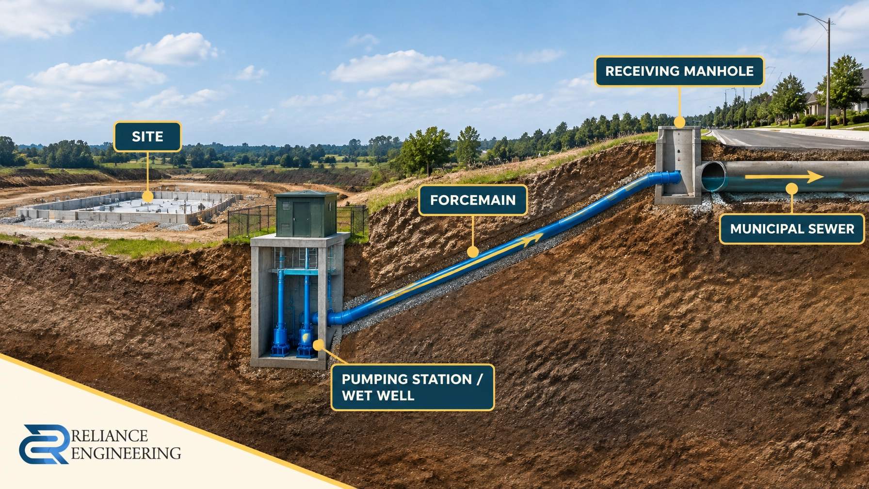
The Site Servicing Plans and Functional Servicing Report should explain how the subdivision connects to existing or planned municipal infrastructure.
The servicing package should clearly show:
- Watermain alignment, sizing, and looping
- Hydrant locations and fire-flow considerations
- Sanitary sewer alignment, grades, and manholes
- Storm sewer alignment, grades, inverts, and outlets
- Service connections to individual lots and blocks
- Utility corridors and easements
- Connection points to external infrastructure
- Phasing requirements
- Servicing constraints and required upgrades
The FSR should support the drawings with demand calculations, capacity discussions, servicing assumptions, and clear conclusions. Municipal engineering reviewers want to know whether the proposed development can be supported by available infrastructure and whether upgrades are required.
A coordinated submission avoids conflicts between pipe profiles, road grades, lot grading, utility corridors, and future building locations. Reliance Engineering prepares Functional Servicing Reports and Site Servicing Plans as part of an integrated civil design.
Design Stormwater Management for the Full Subdivision
A subdivision-wide Stormwater Management Report should address both the development area and its receiving environment.
Depending on municipal and Conservation Authority criteria, the report may include:
- Pre- and post-development drainage areas
- Peak flow calculations
- Quantity control
- Water quality treatment
- Storage requirements
- Outlet and control structure sizing
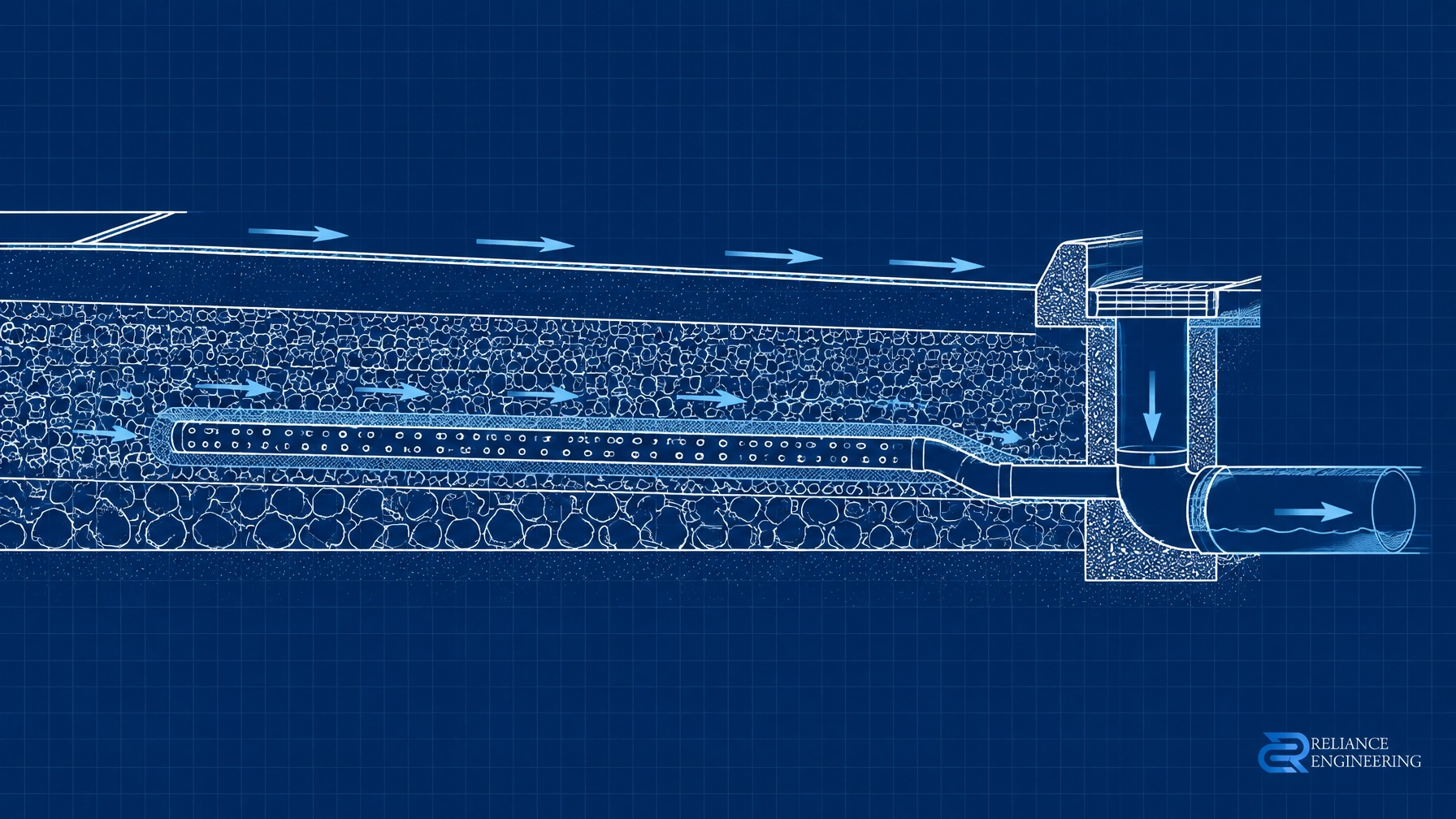
- Storm sewer and overland flow coordination
- Low Impact Development measures, where required
- Erosion protection at outlets
- Downstream drainage impacts
- Maintenance and access requirements
The stormwater facility must fit the subdivision plan. Its block limits, grading, access, outlet location, landscaping, and maintenance requirements should be reflected consistently in the civil drawings.
A report that is prepared separately from the grading and servicing plans can create conflicting elevations or drainage assumptions. Strong coordination allows the SWM design to support a buildable subdivision rather than becoming a late-stage obstacle.
See Reliance Engineering’s Stormwater Management Reports service for coordinated stormwater solutions across Ontario.
Protect the Site During Servicing and Build-Out
Construction can expose large areas of soil before roads, sewers, homes, and stormwater facilities are complete. Erosion and Sediment Control Plans should therefore address the full servicing and build-out sequence.
The ESC package may show:
- Construction entrances
- Sediment fencing
- Sediment traps or basins
- Check dams and temporary swales
- Inlet protection
- Stockpile controls
- Dewatering measures
- Phased grading
- Stabilization and restoration
- Inspection and maintenance requirements
Municipal engineering staff and Conservation Authority reviewers generally want to see how sediment will be kept out of municipal systems, watercourses, wetlands, and neighbouring properties. Controls should be practical, accessible, and tied to the construction sequence.
Design Roads, Rights-of-Way, and Access Correctly
Municipal roads are not simply lines on the draft plan. The engineering package must demonstrate that the proposed right-of-way can accommodate the required road cross-section, utilities, sidewalks, drainage, snow storage, and access.
Road and access submissions may need to address:
- Right-of-way widths
- Road horizontal and vertical alignment
- Curb radii and intersections
- Sight triangles
- Emergency access
- Sidewalks and multi-use paths
- Turning requirements
- Road grades
- Utility corridors
- Road widenings and daylight triangles
- Municipal construction standards
The road design must connect logically to the grading, servicing, and final lot plan. Poor coordination at this stage can affect every lot in the subdivision.
Account for Remnant Parcels and Future Severances
A plan of subdivision may leave a remnant parcel, retained parcel, or land outside the main development area. That land may later require a land severance or consent application.
The civil review should confirm:
- Legal and physical access
- Existing and future servicing
- Drainage impacts
- Lot frontage and configuration
- Easements
- Grading transitions
- Compatibility with future Severance / Consent Application Drawings
Planning for the remnant parcel early prevents the subdivision from creating an isolated, underserviced, or inaccessible property.
Address Conservation Authority Requirements Early
Where regulated lands, watercourses, wetlands, valleylands, shorelines, or floodplain limits touch the plan, Conservation Authority requirements can affect the entire civil layout.
The Conservation Authority may review:
- Floodplain and hazard limits
- Development setbacks
- Fill and grading
- Watercourse crossings
- Stormwater quantity and quality
- Erosion and sediment control
- Outlet locations
- Environmental and hazard blocks
- Access for maintenance and inspection
The grading and stormwater design should clearly show the relationship between the proposed works and regulated features. If floodplain mapping or watercourse setbacks are not confirmed early, the lot fabric, road alignment, and stormwater facility may need to change after draft approval.

Prepare Building Permit Drawings for Individual Lots
Registration creates lots, but each lot still requires future design and approvals.
For individual homes or buildings, Building Permit Drawings should be coordinated with the registered plan and approved subdivision grading. They may need to confirm:
- Building location
- Finished floor elevation
- Garage and driveway grades
- Foundation drainage
- Lot drainage
- Service connections
- Rear-yard and side-yard swales
- Retaining walls, where required
- Compliance with municipal lot grading requirements
A subdivision grading plan should provide enough flexibility for individual building designs without losing the overall drainage strategy.
Complete the Final Engineering Submission Before Registration
Before final approval and registration, the municipality generally needs confirmation that the approved draft plan and its conditions have been addressed. Under section 51 of the Planning Act, the approval authority must be satisfied that the final plan conforms with the approved draft plan and that the conditions have been or will be fulfilled.
The final engineering submission should include, as applicable:
- Revised subdivision grading plans
- Site servicing plans
- Stormwater Management Report and drawings
- Functional Servicing Report updates
- Erosion and Sediment Control Plans
- Road and access drawings
- Easement and drainage information
- Utility coordination
- Construction notes and details
- Responses to municipal comments
- Conservation Authority clearance
- Confirmation of consistency with OPA and ZBA approvals

Early Engineering Input Reduces Resubmissions
The strongest subdivision submissions do not wait until draft approval to involve civil engineering. Early engineering input tests whether the practical concept can satisfy municipal standards, Conservation Authority constraints, servicing capacity, road requirements, and lot grading objectives.
Reliance Engineering provides:
- Plan of Subdivision Drawings
- Site Grading Plans
- Site Servicing Plans
- Stormwater Management Reports
- Functional Servicing Reports
- Erosion and Sediment Control Plans
- Site Plan Approval Drawings
- OPA/ZBA Drawings
- Severance/Consent Application Drawings
- Building Permit Drawings
Our goal is a complete civil package with clear drawings, practical concepts, strong coordination, approval support, and permit-ready civil drawings.
Request a Subdivision Consultation
If you have draft plan conditions to clear, contact Reliance Engineering for a consultation. We can review the condition schedule, identify the required civil deliverables, and establish a coordinated path toward final engineering approval and registration.
Reliance Engineering
6850 Millcreek Dr, Mississauga, ON L5N 2H4
Phone: 647-385-6418
Email: [email protected]
Office hours: Monday–Friday 9:00 AM–5:00 PM; Saturday 12:00 PM–2:00 PM; Sunday Closed
Naresh Ochani, P.Eng. M.Eng.
PEO Certificate of Authorization: 100548882