Ontario Land Development, Zoning & Approvals | 6:00 PM post / Article type: Approval-stage guide | Focus: Grading, landscape and architectural coordination in SPA submissions | Reading time: 6 minutes
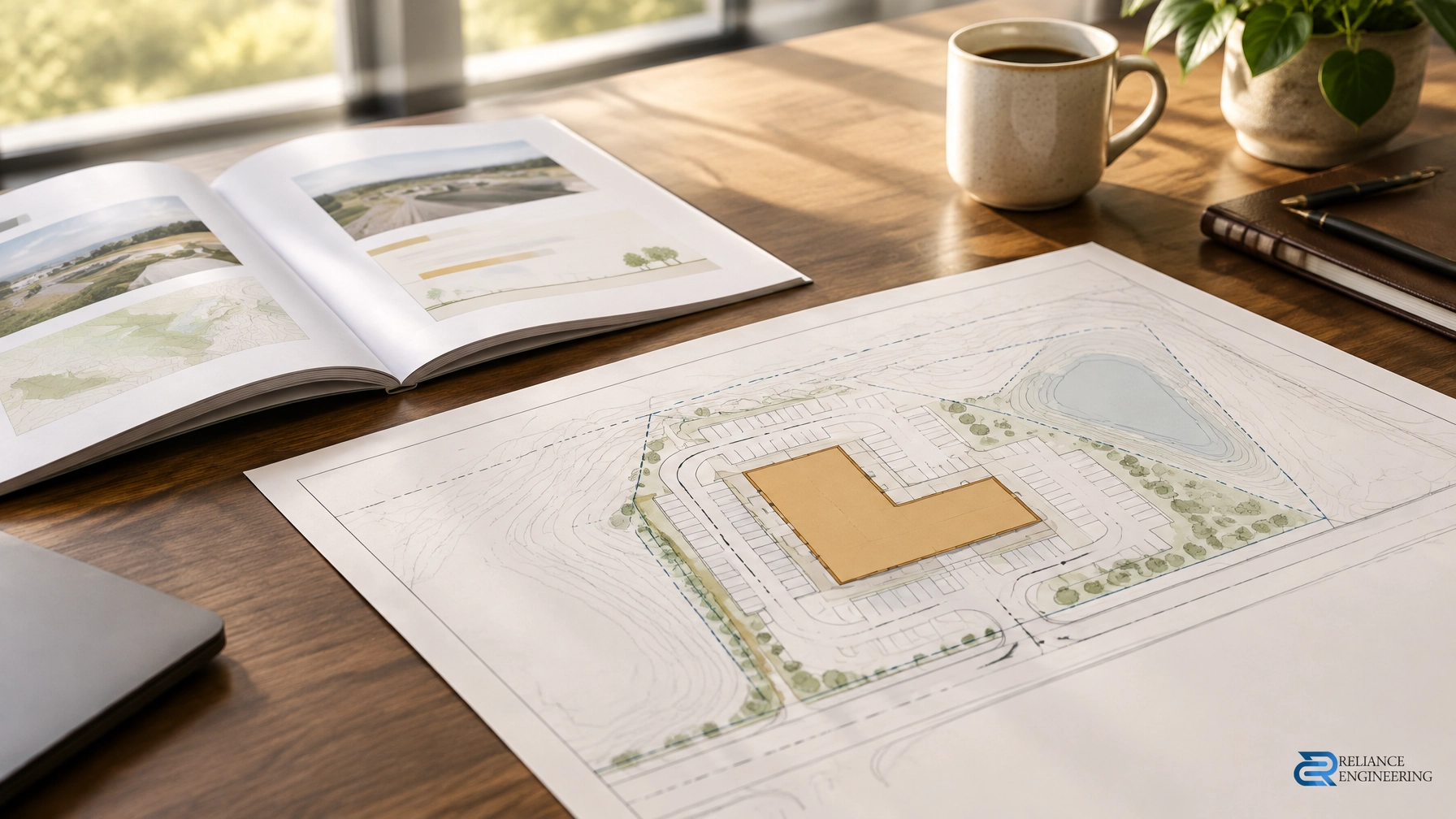
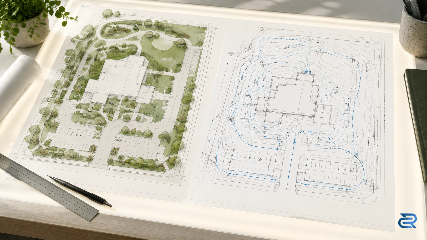
A site plan approval submission is reviewed as a coordinated set. Municipal reviewers read the civil, landscape and architectural drawings side by side to understand how a site will be built and function.
A grading plan, landscape plan and architectural plan can each look complete on its own and still disagree at critical interfaces. A door may not align with proposed grades. A planted island may occupy space needed for a catch basin. A landscape swale may conflict with the civil drainage route.
These are not just drafting differences. They can prompt questions about accessibility, drainage, tree protection, or constructability. Strong coordination before submission helps produce clear drawings and a consistent design story.
Why discipline mismatches happen
The design team is often developing several interconnected plans at once. Architectural plans may establish the building footprint and entrances early. Landscape concepts may define planting, screening and pedestrian routes. Civil grading is then refined to resolve drainage, servicing, road tie-ins and municipal criteria. The sequence can also run in the opposite direction.
The risk is not that one discipline is necessarily wrong. It is that each plan may be updated on a different schedule, or no one is responsible for reconciling the shared details. An entrance elevation changes, but grading is not adjusted. A tree shifts, but a service trench stays in its original location.
At SPA, reviewers need the same location, elevation and design intent to appear across the relevant drawings. Requirements vary by municipality, so the project team should also confirm local submission standards and review expectations.
Common coordination conflicts
Entrances, floor levels and thresholds. The architectural floor level and entrance location must work with the civil grading at the door. A mismatch can leave an awkward step, an impractical transition or surface drainage directed toward the building. Garage pads and loading doors also need to agree with the proposed grades and drainage direction.
Accessible routes and ramps. A route shown on the landscape plan must be feasible with the grades shown on the civil plan. Ramp slopes, landings, handrails and connections to accessible parking or sidewalks need to fit the site geometry. A drawn route is not coordinated if the grading makes it difficult to build or use.
Retaining walls, planting buffers and fences. A retaining wall affects grades, usable planting space and how a buffer or fence can be located. If these features are designed independently, the plans may show overlapping elements or leave insufficient room for construction and maintenance.
Parking islands and drainage structures. Landscape islands should align with parking geometry and the civil drainage layout. Catch basins and other drainage structures must remain in locations that collect runoff effectively. Planting, curbs and grading should not cover, obstruct or undermine that function.
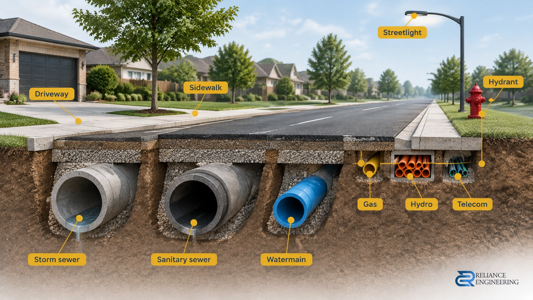
Swales and pipes. A landscape plan may suggest a soft, planted drainage feature while the civil plan relies on a different grading route or storm drainage arrangement. Swales, surface flow and pipes need to work together as one drainage system, not compete for the same space.
Trees and service trenches. Tree protection areas, planting locations, utility routes and grading limits all use the same site. A tree may conflict with a trench, or proposed grading may affect the area intended to protect existing roots. Check these interfaces before drawings are issued.

How to reconcile the plans before you file
Use one shared base plan and datum. Start with consistent survey information, property limits, building footprint, coordinate system and elevation datum. Make sure all disciplines are working from the same current base rather than separate plan versions.
Agree on one grade narrative. The team should understand the intended drainage pattern: where surface water goes, how it avoids building entrances, how swales and catch basins fit together, and how the site connects to its outlet or surrounding grades. The civil design should translate this intent into buildable grading.
Cross-check elevations at interfaces. Compare the proposed civil grades with architectural floor and entrance elevations. Then check that accessible routes, ramps, parking, retaining walls, landscape features and drainage structures fit those elevations. Pay particular attention to doors, garage pads, loading areas and connections to public sidewalks.
Resolve space conflicts across plans. Review planting and tree protection against service trenches, easements and grading limits. Check landscape islands against catch basins, and planters against roof drainage. Confirm that fences and buffers can coexist with retaining walls and drainage routes.
Bring engineering in while concepts can still change. Early engineering input helps test whether architectural and landscape concepts can be supported by grading, servicing and stormwater requirements. Adjusting a concept before submission is generally more straightforward than revising interconnected drawings after municipal review.
A structured coordination check should compare the drawings using common reference points: building corners, entrances, accessible routes, parking edges, walls, trees, utilities, drainage structures and overland flow paths. If one drawing changes, check the other affected drawings before issuing the revision.
What coordinated drawings look like
Reviewer-friendly drawings tell one consistent story from the architectural plans through the landscape plan to the civil design. The building location and entrances match. Proposed grades support the routes and landscape features. Drainage structures and flow paths are visible and consistent. Tree protection and utility layouts do not contradict one another.
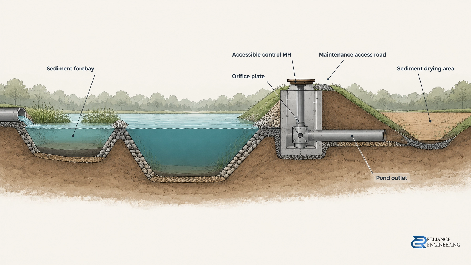
The civil package should also be complete for the application. Depending on project and municipal requirements, this can include site grading, site servicing, storm drainage, stormwater management coordination, erosion and sediment control (ESC), and applicable civil notes and details.
Reliance Engineering’s Site Plan Approval Drawings service includes civil design and coordination with architects, planners, landscape architects, surveyors and other consultants. For more on the site’s elevation and drainage framework, see our Site Grading Plans service.

Request a consultation before SPA submission
If your project is approaching site plan approval, review the grading, landscape and architectural plans together before filing. A coordination discussion can identify unresolved interfaces while the design is still flexible and support practical designs, buildable grading and permit-ready drawings.
Request a consultation about your SPA drawings or contact Reliance Engineering for approval support across Ontario.
Professional contact
Naresh Ochani, P.Eng. M.Eng.
PEO Certificate of Authorization: 100548882
Reliance Engineering
6850 Millcreek Dr, Mississauga, ON L5N 2H4
Phone: 647-385-6418
Email: [email protected]
Office hours: Mon–Fri 9:00 AM–5:00 PM; Sat 12:00 PM–2:00 PM; Sun Closed
Municipal requirements vary. Confirm the applicable municipality’s current submission standards and project-specific requirements.