Commercial redevelopment often requires higher finished grades to accommodate imported fill, parking elevations, accessible ramps, or a raised building slab. At a shared property line, those changes can affect how water moves, and place neighbouring properties at risk if drainage is not carefully planned.
A successful design does not simply raise the site and add a wall. It coordinates property-line grades, drainage routes, stormwater controls and any required approvals. The objective is practical, buildable grading that provides positive drainage while avoiding adverse impacts on adjacent lands.
1. Why property lines become the risk point
A new commercial layout may sit higher than the existing site because of building elevations, accessible routes, parking geometry or connections to roads and municipal infrastructure. That can leave a steep transition or a low point near a shared boundary.
If runoff follows the new slope toward the neighbour, it may cause ponding, erosion or changes to an existing drainage pattern. A wall or raised edge can also block water that previously crossed the site. The property line is therefore a critical design location, not just a limit for paving and landscaping.
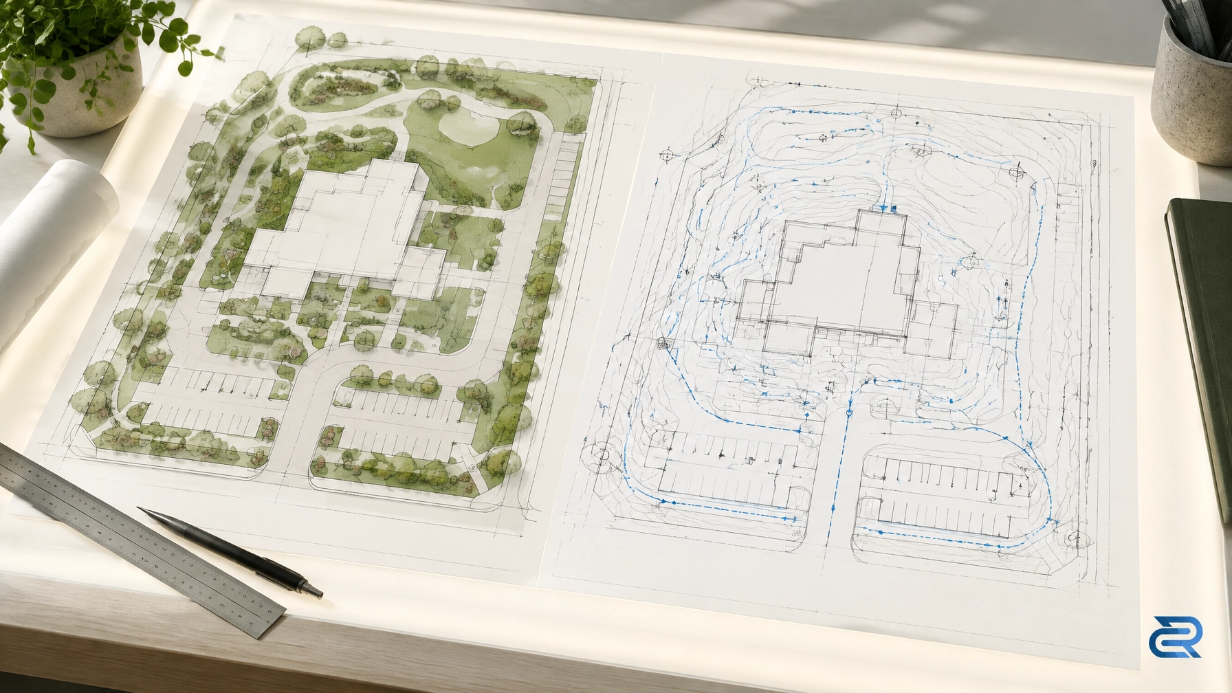
A grading plan should show existing and proposed elevations, surface slopes, swales, walls and drainage routes. Survey information should be checked against actual conditions, including the grade on the other side of the boundary.
2. Lot grading splits: contained drainage or a shared swale
A 100% split generally means the site is graded so runoff is directed and managed within the property, rather than relying on a shared drainage feature at the boundary. This can support a self-contained design, but it requires a workable on-site route and an acceptable outlet.
A shared swale at or near the lot line is a different arrangement. It may convey runoff for one or both properties, but its location, capacity, maintenance and relationship to both grading plans need to be understood. A proposed grade change should not block, shift or overload an existing shared drainage route.
There is no single lot-grading pattern that applies to every commercial property across Ontario. Municipal lot grading criteria and site-alteration by-laws vary. Requirements may address boundary elevations, buffers, drainage direction and whether site drainage must be self-contained. An approach approved on one site may not be acceptable on another. Confirm the applicable municipal criteria before fixing the design.

3. Retaining walls must work with the grading plan
A retaining wall near a property line can manage a level change, but it is not a drainage plan on its own. Its position, height, grading at the top and toe, and relationship to the boundary all need coordination. The wall must also be designed and located so that it does not encroach onto neighbouring land.
The area behind a wall needs a deliberate drainage detail. Depending on the design, this may include a subdrain and a suitable outlet. Weep holes may be part of a wall detail, but they should not discharge in a way that creates a problem across the property line.
The grading above the wall may be level or stepped, depending on available space and the design criteria. In either case, runoff must have a clear destination. A wall without a swale or another planned drainage route may simply move the ponding to a different spot.
Confirm who owns and maintains the wall, subdrain and related drainage features. If the wall is near a shared boundary, coordinate responsibilities and access with the affected parties before construction.

4. Show where major storm flow goes
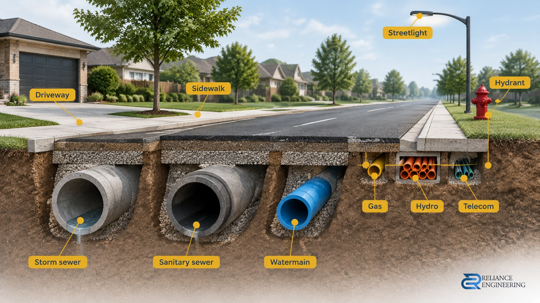
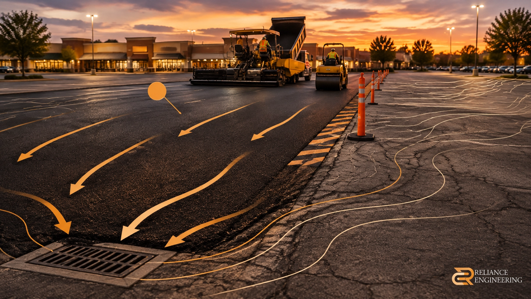
The site plan should show both the everyday drainage system and the overland flow routes for larger storm events. If inlets or the minor drainage system cannot carry all runoff, surface flow still needs a safe route.
The route should be assessed against applicable municipal criteria and shown clearly on the approved plan. It must not be directed onto adjacent lands in a way that increases flow or creates an adverse drainage impact. “No increased flow to adjacent properties” is a useful design objective and a phrase municipal reviewers commonly look for; the specific performance standard must be confirmed with the municipality.
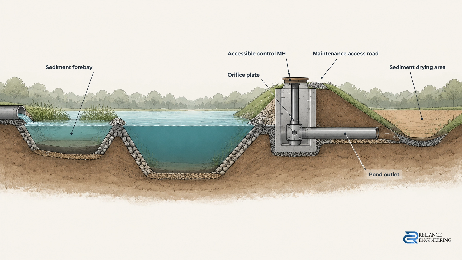
A site grading plan should coordinate surface elevations and flow paths with stormwater management measures and the site layout. Where a stormwater management report is required, it can support the review of runoff and proposed controls. Learn more about stormwater management reports.
5. When the only practical outlet crosses a neighbour’s land
Some sites have limited space or no direct connection to a suitable public outlet. A drainage route across private property may then be considered, but an informal understanding with a neighbour is not a reliable substitute for a properly authorized route.
A drainage easement or agreement may be required to establish the right to convey, access and maintain drainage infrastructure. The municipality may also need to review and accept the arrangement. Confirm the legal and approval requirements early, before relying on a neighbour’s land in the grading concept.
Where an easement or agreement is part of the design, coordinate it with the civil drawings and the project’s legal and approval process. Site plan approval drawings should show how grading, servicing and stormwater measures work together. See our site plan approval drawings service.
6. Pre-design checklist
Before setting proposed grades or ordering fill, confirm:
- Survey both sides of the line: Record boundary elevations and visible drainage features. A survey limited to the subject property may not show the full grading condition.
- Find the existing low point and legal outlet: Identify how water currently leaves or is managed on the site, and confirm whether that route can be used.
- Check municipal lot-grading criteria: Review the applicable grading standards, site-alteration by-law and submission requirements for the specific municipality.
- Confirm regulatory constraints: Check for Conservation Authority requirements and regulatory floodlines where applicable.
- Coordinate the design: Review the building slab, ramps, parking, retaining walls, swales, storm system and overland flow routes together.
- Prepare clear documentation: Show existing and proposed grades, flow arrows, boundary conditions, wall coordination and drainage details on permit-ready drawings.

Takeaway: Raising a commercial site can be practical when the design accounts for the boundary from the start. A drainage-focused approach should show where water goes, how walls and swales function, and how the design avoids adverse impacts on neighbouring properties. Municipal lot grading criteria, site-alteration by-laws and Conservation Authority requirements vary across Ontario, so confirm the applicable requirements for each project.
Request a property-line grading review before design begins. Reliance Engineering can review the boundary condition, drainage constraints and approval requirements to help develop practical designs, coordinated grading and clear drawings. Our site grading plans support buildable grading, positive drainage and approval support. Where required, we also coordinate erosion and sediment control planning through our erosion and sediment control plans service.
Publication and credentials
Published: October 25, 2026
Professional: Naresh Ochani, P.Eng. M.Eng.
PEO Certificate of Authorization: 100548882
Company: Reliance Engineering Canada Limited
Address: 6850 Millcreek Dr, Mississauga, ON L5N 2H4
Phone: 647-385-6418
Email: [email protected]
Hours: Monday to Friday 9:00 AM–5:00 PM; Saturday 12:00 PM–2:00 PM; Sunday Closed