Ontario Land Development, Zoning & Approvals | 6:00 PM post
Article type: Permit-stage guide | Focus: Topographic survey accuracy behind the building permit civil set | Reading time: 6 minutes
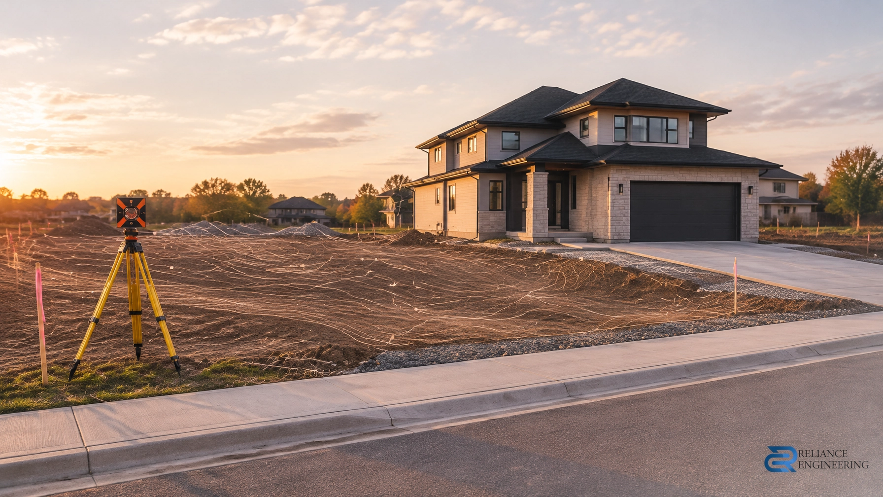
When a project moves from site plan approval, consent, or ZBA/OPA approval to a building permit, the civil drawings must work with the site as it exists, not as it existed when an earlier survey was prepared.
At permit stage, municipal reviewers compare proposed elevations and servicing details with existing conditions. If the topographic survey is stale or incomplete, a grading plan may look reasonable on paper but prove unbuildable in the field, or fail review because proposed grades do not tie into the real site.
The survey is the quiet referee. It establishes the conditions that the proposed civil design must answer to.
Why survey currency matters at permit stage
A survey does not remain accurate simply because it was accepted earlier in the approval process. Conditions may change between approvals and permit submission. A building footprint may shift during design coordination. Demolition, tree removal, neighbour construction, utility work, or municipal road improvements may alter the information shown on the original survey.
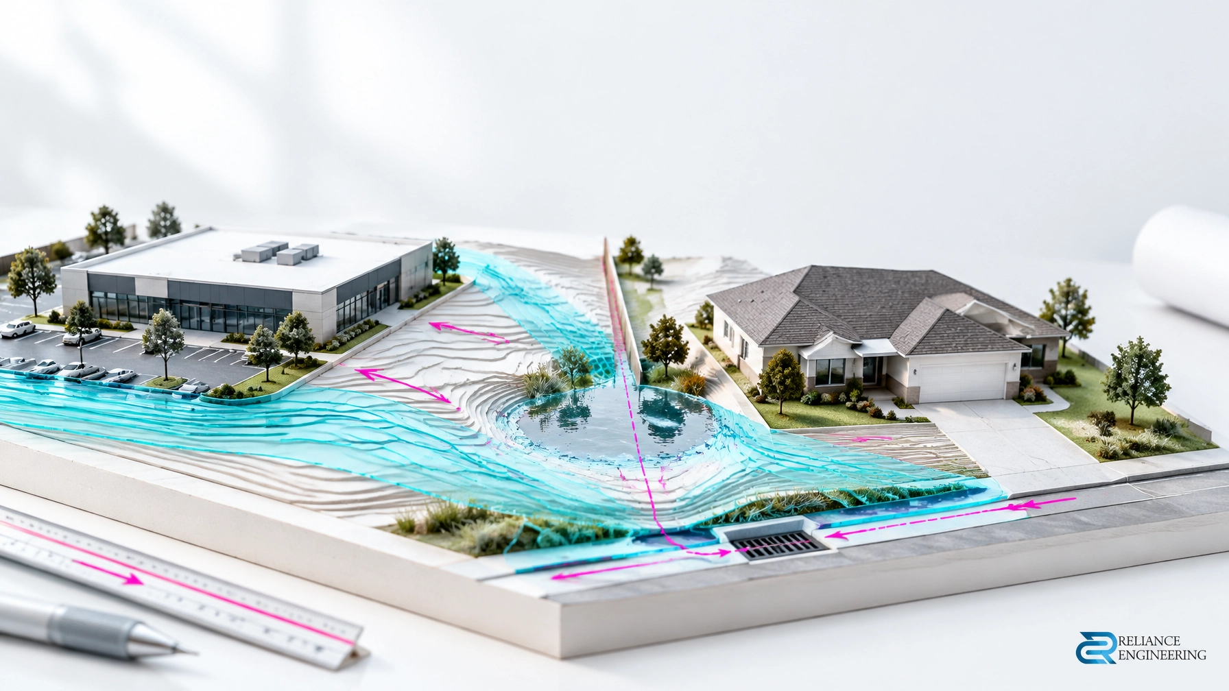
Grading depends on accurate existing elevations at key tie-in locations. Those include property lines, driveways, the municipal frontage, and features that direct or constrain drainage. If these points are wrong, proposed slopes and drainage paths may not connect as intended.
For example, a driveway grade designed from an old curb elevation may no longer meet the road correctly. A proposed swale based on an outdated lot-line elevation may direct runoff onto neighbouring land. The civil set needs a reliable picture of the site now, not an assumption that nothing has changed.
What the civil engineer needs from the survey
The survey should provide enough information to design grading and servicing against the site’s actual geometry and constraints. Depending on the project and municipal requirements, this may include:
- Existing spot elevations at property corners, lot lines, building corners, and key transitions.
- Driveway elevations at the property line and across the municipal frontage.
- Curb, ditch, swale, or other drainage feature elevations, including inverts where relevant.
- Top-of-bank information where slopes or natural features affect grading.
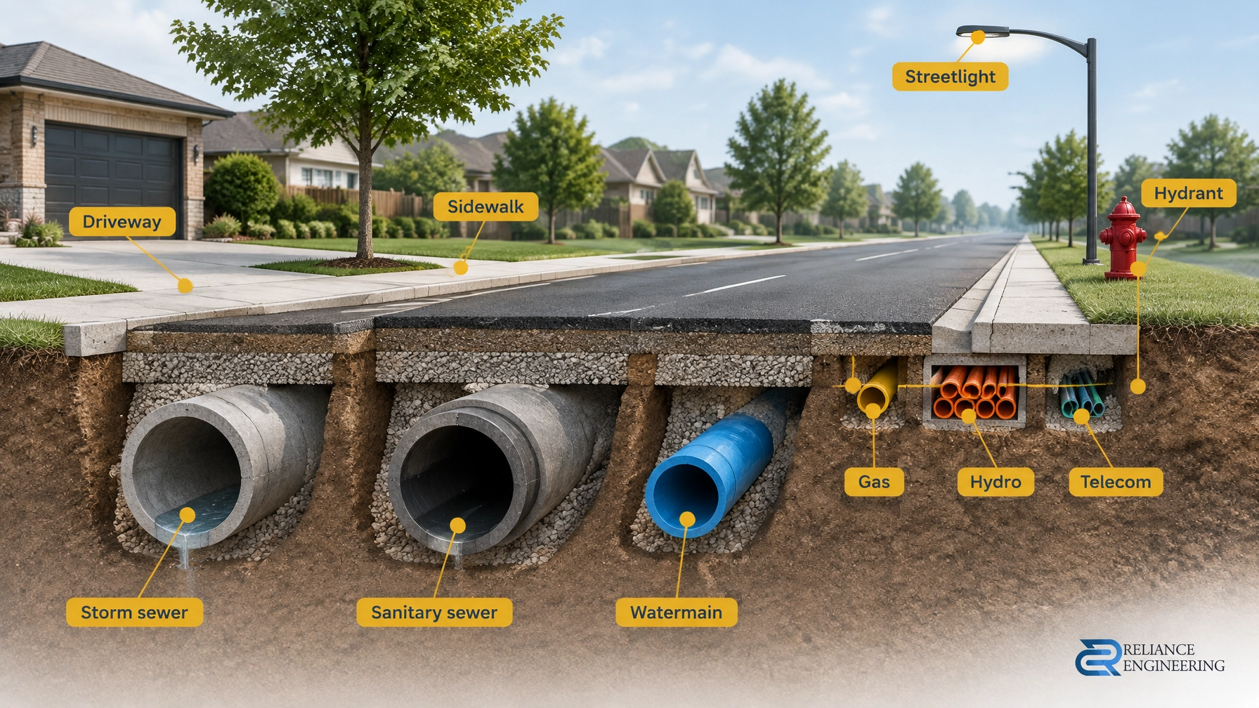
- Existing water, sanitary, and storm service locations, with invert information where available and applicable.
- Trees, retaining walls, fences, and other features that may constrain proposed grades.
- Easements, rights-of-way, and other legal fixtures that affect where grading or services can be placed.
- A clear survey date, scope, and elevation reference.
The required level of detail varies by project and municipality. For example, the City of Mississauga’s grading plan terms of reference describe grading submission information, while Greater Sudbury’s building permit submission guideline identifies details expected for certain development applications. These are useful reminders to confirm the applicable local requirements rather than assuming one survey scope fits every site.

Common problems caused by outdated or assumed information
A drawing can appear complete and still rely on a critical elevation that no longer reflects field conditions. These are common ways that gap can show up:
Proposed grades fall below existing lot-line grades. The design may unintentionally send drainage toward a neighbour or create a difficult tie-in at the property boundary.
Finished floor elevations rely on old information. If the site or building layout has changed since the survey, the planned relationship between the building entrance, surrounding grades, and drainage may no longer be practical.
Driveway slopes use a curb elevation that has changed. Road or boulevard work can alter the frontage conditions. A driveway designed against an old curb profile may require adjustment to connect safely and smoothly.
A service connection’s assumed invert is incorrect. If the actual connection is at a different elevation than expected, the proposed servicing layout may need to change. This can affect pipe slopes, connection feasibility, and coordination with other civil elements.
These issues are not always visible by reviewing a plan in isolation. They become apparent when the design is checked against verified site information or the work reaches the field.
How to keep the permit set honest
A few checks early in the process can help the project team avoid designing around outdated conditions.
- Confirm the survey date and scope. Check when it was completed and whether it includes the information needed for the current grading and servicing design. A recent date alone does not guarantee the survey covers every required feature.
- Ask what has changed since the survey. Confirm whether demolition, construction, regrading, tree removal, utility work, or other site activity has occurred.
- Check the municipal frontage. Ask whether there has been recent road, curb, sidewalk, or boulevard work that could affect driveway grades or drainage tie-ins.
- Raise discrepancies early. If the architectural layout, approved plans, survey, and field conditions do not align, bring the issue forward for early engineering input.
- Tie proposed grades into verified conditions. A coordinated design should show how proposed elevations meet the existing site and relevant frontage conditions, using buildable grading rather than assumed tie-ins.

What reviewer-friendly drawings show
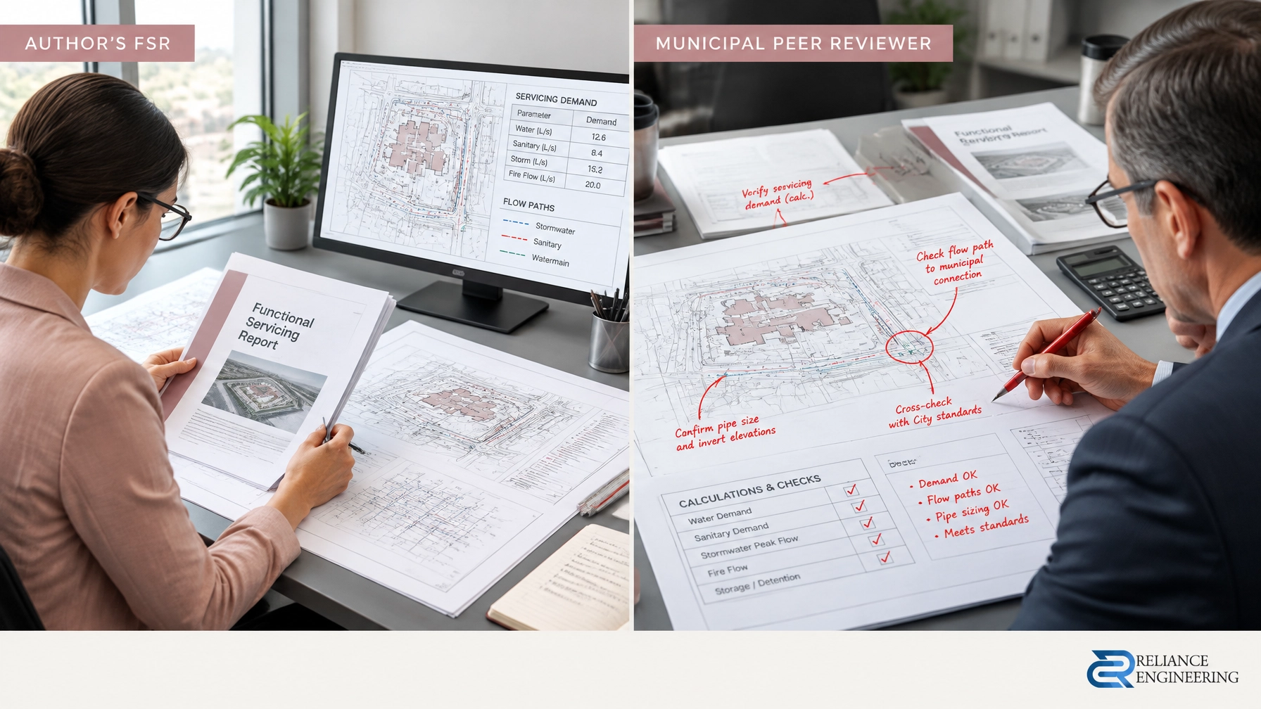
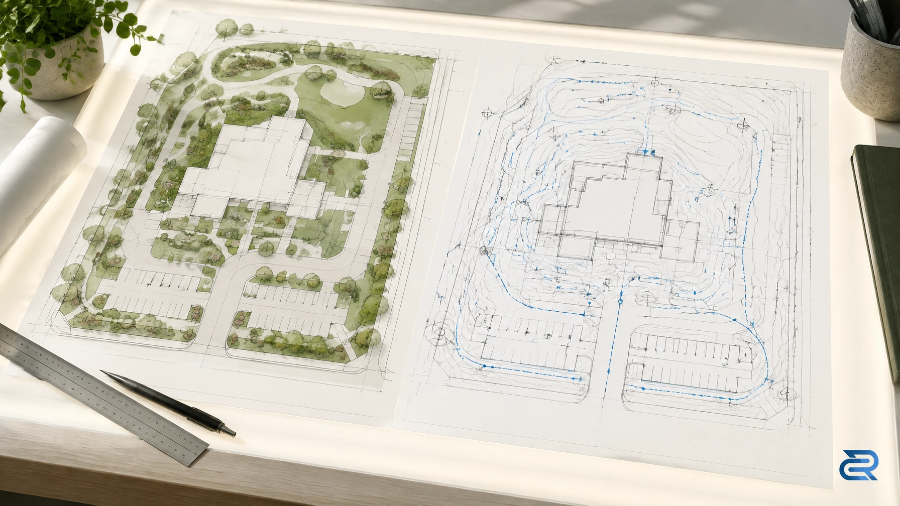
At permit stage, reviewer-friendly drawings make it easy to distinguish surveyed conditions from the proposed design. Existing and proposed elevations should be clear, and the drawing should show how grades tie into property lines and the right-of-way. Relevant servicing details should be coordinated with the grading plan so the proposed civil work can be understood as a practical whole.
The survey is the base for that work, but it is not a substitute for engineering judgment. The civil engineer uses survey information alongside architectural plans, municipal criteria, and project constraints to develop clear drawings and practical designs.
A well-prepared building permit civil set may include grading and drainage, driveway grading, site servicing, stormwater details where required, and erosion and sediment control information. Reliance Engineering reviews survey information as part of the civil design process and provides approval support through municipal review. The aim is a complete civil package with permit-ready civil drawings that are both clear to review and workable to build.
For more on grading design, see our Site Grading Plans service.
Get engineering input before permit submission
If your project has received site plan, consent, or ZBA/OPA approval, confirm that the survey still reflects current conditions before the civil set is finalized. Addressing a missing elevation or changed frontage early can be more straightforward than revising drawings after submission or during construction.
Request a consultation with Reliance Engineering before permit submission. We can review the survey information, identify potential gaps, and discuss the civil drawings your project may need.
Municipal requirements vary across Ontario.
Contact Reliance Engineering
Naresh Ochani, P.Eng. M.Eng.
PEO Certificate of Authorization: 100548882
Reliance Engineering
6850 Millcreek Dr, Mississauga, ON L5N 2H4
647-385-6418
[email protected]
Hours: Mon–Fri 9:00 AM–5:00 PM; Sat 12:00 PM–2:00 PM; Sun Closed